

2026 User Group Meeting
Dec. 1-3, 2026 | Prague, Czech Republic
Join us for the 2026 Trimble Applanix User Group Meeting in the heart of Europe!
Experience world-class insights and networking in beautiful Prague, at the historic NH Collection Prague Carlo IV hotel.
Block your calendars for December 1-3 and stay tuned for more details on registration and sessions coming soon!
INTRODUCING
Speakers

Neil Ackroyd
Neil has had the pleasure of working with GNSS technology across his career, in 1984 he developed the first DGPS systems joining Trimble in 1989 to help kick-start their European adventures. He worked across three continents on the first applications of RTK and GPS. Joining Ordnance Survey in 2001, he ran the surveying and engineering side of this mapping agency. Now working at NCTech, Neil focuses on integrating high-accuracy GNSS and LiDAR with its proprietary camera technology to enable affordable mobile mapping at scale.

Félix Audirac
Technology is reshaping the world at an unprecedented pace, and I’m passionate about using it to leave a better future for my children. I’ve been fortunate to ride major waves of disruption, from evangelizing smartphones with BlackBerry across Latin America in 2007 to pioneering drone adoption with Droidika in 2014. Today, I lead CartoData, a fourth-generation geospatial company and invest in early-stage startups through Future World Ventures, combining technology, strategy, and innovation to solve complex challenges.
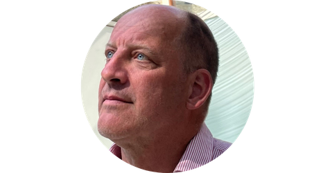
Wim Balvert
Wim Balvert is workshop and innovations manager at Van Oord, his focus is on the maintenance of all van Oord’s survey equipment, leading a dedicated team of engineers and logistics staff.
Wim started working in the hydrographic survey field over 40 years ago as an electronics engineer and has held a management position for the last 20 years. Wim has followed up on jamming and spoofing events since they arose.

Court Hinricher
Court Hinricher is a staff hardware engineer at Kodiak AI and has been with the company since October 2018 shortly after the company’s founding. He drives the design, development, and deployment of calibration systems and inertial navigation hardware for Kodiak’s autonomous Class 8 semi-truck platform, ensuring the accuracy, reliability, and scalability required for fleet-scale operations. Prior to Kodiak, Court worked at ATD, a startup focused on fuel efficiency for Class 8 trucks, where he built deep expertise in heavy-duty vehicle systems.

Jason Kim
Jason Kim, CEO of Mobiltech, brings a wealth of expertise in autonomous driving, mobile mapping, and digital twin technologies. Holding a B.S. and Ph.D. candidacy in Electrical and Electronic Engineering from Yonsei University, Jaeseung's research has focused on 3D LiDAR mapping, sensor fusion, and SLAM. He has led Mobiltech's innovations in high-precision digital twin solutions, advancing spatial information technology to support smart cities and autonomous driving.
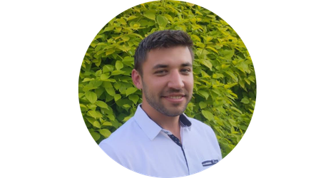
Philip Lawrence
Philip Lawrence MSc is a CAT A accredited hydrographic surveyor at Saildrone Inc., overseeing ocean data collection via autonomous surface vehicles. With over 400 nearshore and offshore projects, his experience spans UK field surveying to Middle East dredge operations.
Philip is highly proficient in software like Qimera, CARIS, and Hypack, and expert with advanced Kongsberg, Norbit and R2 Sonic sonars, as well as vessel-mounted LIDAR and magnetometer systems.
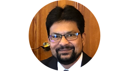
Sajid Mukhtar
Sajid Mukhtar is the chairman & managing director of Roter Group of Companies. He is a third-generation entrepreneur with a demonstrated history in surveying instrument design, development and manufacturing. The company has its roots in surveying and mapping instruments in India since 1936. Under Sajid Mukhtar’s leadership, Roter Group has evolved from producing traditional opto-mechanical mapping devices to advanced precision mapping equipment, remote sensing, AI, Robotics and drones.
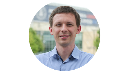
Michal Nowicki
Michał Nowicki the head of autonomy at AeroVect, where he leads the localization team behind self-driving airport ground support vehicles. His work spans SLAM, sensor fusion, and factor graph optimization, with 70+ publications at ICRA, IROS, and RAL. He is also an Associate Professor at Poznań University of Technology, teaching modern sensors in mobile robotics. He previously worked with Coco Robotics and Hydromea, and led a project for Samsung. Outside work, he is a keen runner and recent triathlon debutant.

Bernhard Schachinger
Bernhard focuses on enhancing UltraMap and optimizing photogrammetric workflows. Since joining Vexcel in 2008, he has contributed to numerous advancements, from data quality analysis workflows to the development of key UltraMap features. A graduate of Geoinformatics, he brings extensive expertise in imagery and LiDAR processing and gains valuable insights from customer projects worldwide. He maintains close partnerships and actively contributes to the geospatial industry and scientific community through applied research and collaboration.
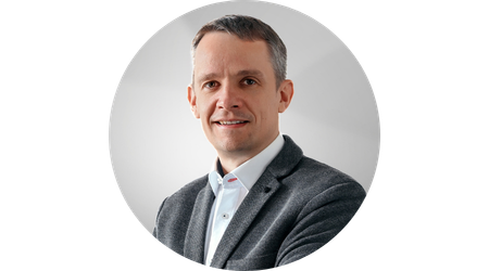
Ronny Stricker
For many years, Ronny Stricker worked at Ilmenau University of Technology, focusing on mobile robotics, image processing, and artificial neural networks. As Head of Technology at LEHMANN + PARTNER GmbH, he now specializes in high-precision data acquisition using mobile mapping systems and highly automated data analysis.
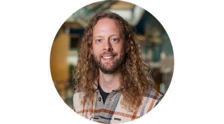
Neils Voorbij
Since joining Horus in 2015, I’ve been at the cradle of all our mobile mapping systems and custom solutions.
Transitioning from hands-on design to managing technical specs, I focus on scouting and integrating new hardware to leverage our flexible software and keep us at the forefront of development. I thrive on finding the right hardware combinations to make the whole greater than the sum of its parts.
Outside of work, I enjoy outdoor climbing, 3D printing, and smart-home tinkering.
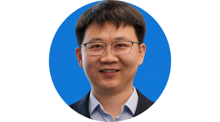
Yanning Wang
Yanning Wang is the Founder & General Manager of Meshdynamics and an airborne remote sensing and photogrammetry specialist with 19 years of professional experience. His work focuses on integrated aerial imaging systems, GNSS/IMU positioning,, and related projects. He has led the development and deployment of airborne mapping equipments for surveying, infrastructure and emergency response.
This is a meeting you won't want to miss!
"In just two days of workshops, I gained more in-depth technical knowledge than in two years of using the product. The event offered amazing networking opportunities, a friendly atmosphere, and a fantastic social program. With experts on hand to answer every question, I’m thrilled another [UGM] is coming up. I’ll definitely attend!"
Rokas Adiklis, CTO, AISPECO
Inertial education elevated
The Trimble Applanix User Group Meeting is a two-day intensive training and networking event where precision and innovation intersect. Combining timely educational sessions with real-world customer insights, hands-on workshops and thought-provoking discourse, the Applanix UGM is perfectly calibrated to help surveying professionals and system integrators chart their course for success.
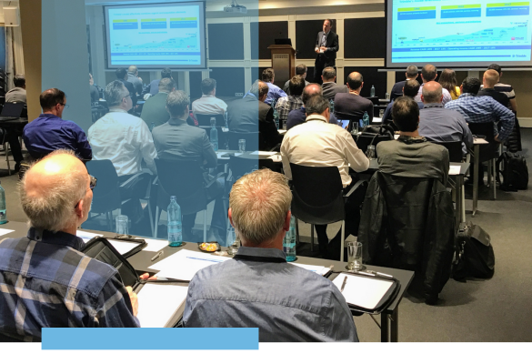
Compelling content
By exploring topics such as solar scintillation, flying beyond line-of-sight, navigating increasingly complex environments, large-scale data mapping and the integration of AI, this UGM accelerates users’ understanding of cutting-edge technologies that are driving the future of surveying and positioning automation.

Networking
Engaging with accomplished engineers, product managers and C-Suite executives across various sectors helps establish lasting business relationships, and presents the opportunity to learn from peers’ practices, processes and performance.

Evening appreciation activities
Keep the energy flowing into the evening with two nights of lively entertainment that showcase some of the city’s finest activities, food and drink — providing the space to unwind, enjoy and perhaps even stoke new interests and passions!
See highlights from last year...
“The Applanix UGM is a unique opportunity to not only be up with the latest in this fast moving technology, but to also learn from your peers from around the world who may be doing similar types of projects in different markets... I highly recommend attending the UGM.”
Peter Terrett, GNSS Specialist | 4D Global
Hope to see you at the 2026 Trimble Applanix UGM in Prague!
Block your calendars for Dec. 1-3, 2026 and and sign up for our newsletter for updates.

Trimble Applanix
85 Leek Cres, Richmond Hill,
ON, L4B 3B3 Canada


Terms of Use Privacy Statement Trademark Information Do Not Sell My Personal Information ©%%current_year_YYYY%%, Trimble Applanix