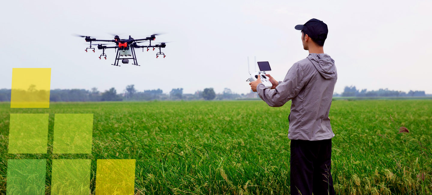
Direct Georeferencing: The Height of Efficiency
As with any aerial mapping or surveying project, time is money, and the longer you spend out in the field the greater your project costs. Today’s skilled technician can’t afford to dismiss collecting precise Georeferenced data swiftly and easily from moving airborne vehicles as just another “pie-in-the-sky” dream.
Direct Georeferencing (DG), a tried-and-true process developed and perfected by Applanix, combines the data collected from our Position and Orientation Systems (POS) technology with that of any imaging sensor, to directly geo-code each point or pixel of the imaging information with real-world geographical coordinates.
Performed in real-time or through post-processing, DG boosts productivity by eliminating the set-up of Ground Control Points (GCPs), and expanding the area mapped. The result is highly-accurate, reliable deliverables and a simplified surveying process – freeing you to refocus on the top-down, “bird’s eye view” of your operation.
Read Our DG for UAVs Whitepaper
This paper investigates how DG and Trimble Post-Processed CenterPoint RTX Fast positioning technology allows the capture and generation of high-accuracy survey-grade map products from small Unmanned Aerial Systems (UAS) by:
- Eliminating the need to set up a GNSS reference station
- Eliminating GCPs
- Flying with minimal sidelap for improved field efficiencies and reduced costs
