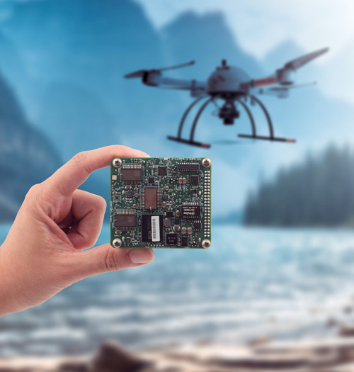
Trimble Applanix develops, sells, and supports stable, reliable, and repeatable GNSS-inertial solutions that enable mobile mapping from Air, Land, and Marine vehicles. They are easy to incorporate and designed to operate under the most difficult conditions and environments.
Come see Trimble Applanix’s powerful mobile mapping solutions for land and marine vehicles, and our Direct Georeferencing solutions designed for high-efficiency airborne mapping, including from UAVs. Plus, learn more about our industry-leading Applanix POSPac post-processing software with CenterPoint® RTX™ for centimeter-level accuracy without base stations, and POSPac LiDAR QC Tools for IMU boresight and trajectory adjustment in poor GNSS areas.
Join Our Sessions
We'll be at multiple FIG Working Week Sessions—ranging from multi-sensor HD mapping and post-processing, to a panel discussion on new FIG drone surveying standards. View the complete list to plan attending your favourite presentations before the show.
Skip the Line-Ups
Book a one-on-one meeting with an Applanix representative in advance, for expert advice on how our solutions can address your specific needs. We’ll answer your questions, and direct you to the product most suited for you.
Book a one-on-one discussion with our on-site staff
Learning Sessions
Sunday, 28 May | 09:00–13:00 | Palm, Hilton/Waldorf
SESSION 3: MULTI-SENSOR-SYSTEMS FOR KINEMATIC POSITIONING High-Definition Mapping for Autonomous Driving using Integrated Sensors - Part I (12191)
Dr. Mohamed Mostafa | Lead Technical Authority - Mobile Mapping, Trimble Applanix
[abstract] [view technical program]
SESSION 4: UNCERTAINTY OF KINEMATIC POSITIONING AND MAPPING High-Definition Mapping for Autonomous Driving using Integrated Sensors Part Il (12270)
Dr. Mohamed Mostafa | Lead Technical Authority - Mobile Mapping, Trimble Applanix
[abstract] [view technical program]
Monday 29 May | 11:30–13:00 | Palm, Hilton/Waldorf
TS01F: SURVEYING BY DRONES - SESSION 1: THEORY, PRACTICE, AND STANDARDS [10556]
Commission: 5, 6 & Standards Network
Chair: Dr. Mohamed Mostafa | Lead Technical Authority - Mobile Mapping, Trimble Applanix
FIG would like to create a Standard for Surveying by Drones. This, and a second session will investigate the scope of this standards initiative.
Monday, 29 May | 14:30–16:00 | Palm, Hilton/Waldorf
TS02F: SURVEYING BY DRONES - SESSION 2: PANEL DISCUSSION [10557]
Commission: 5, 6 & Standards Network
Chair: Dr. Mohamed Mostafa | Lead Technical Authority - Mobile Mapping, Trimble Applanix
FIG would like to create a Standard for Surveying by Drones. This is the second session investigating the scope of this standards initiative.
Dr. M. Mostafa, Trimble Applanix, Canada. FIG Standards for Surveying by Drones: An Introduction (5 min)
Dr. A. Habib, Professor, Purdue University, USA. Surveying by Drones: The Academic Perspective (15 min)
Ms. My-Linh Truong, ULS Division Manager, RIEGL USA, Taking Flight with RIEGL LiDAR (15 min)
Dr. Tristan Allouis, CTO, YellowScan, France (15 min) Panel Discussion including the audience (40 min)
Monday, 29 May | 14:30–16:00 | Taylor, Hilton/Waldorf
TS02G: COMBINING POSITIONING AND SENSING SYSTEMS [10564]
Commission: 5 & 6
Joseph Hutton | Director, Inertial Technology & Airborne Products, Trimble Applanix
Nilesh Gopaul | Geomatics Navigation Engineer, Trimble Applanix
Jau-Hsiung Wang | Navigation Analyst, Trimble Applanix
Dr. Mohamed Mostafa, Lead Technical Authority - Mobile Mapping, Trimble Applanix
Anna Jarvis | Product Manager, Trimble Applanix
Optimizing the Accuracy and Efficiency of Mobile Mapping and Surveying using the Latest GNSS Constellations and Frequencies and LiDAR Adjustment Technology (11947)
[abstract] [paper] [view technical program]
Tuesday, 30 May | 11:30–13:00 | Flagler/Gilchrist, Hilton/Waldorf
TS04B: FIG CORPORATE MEMBER SESSION -TRIMBLE
Enabling Geospatial Professionals to Conquer New Frontiers
Democratization of positioning solutions has been a persistent goal within the Trimble Survey and Mapping sector, especially for addressing Land Administration needs of mapping cadastre and people’s relationship to the land, all while maintaining data integrity and quality. As the cost of commercially available imaging sensors (LiDARs, cameras, etc.) continues to decrease, so has the cost of mobile mapping systems that use them, meaning there is more geospatial data available than ever which can be harnessed to make faster, safer, and greener decisions. Accuracy of the geospatial data and its collection efficiency are of utmost importance, and without the proper tools challenges can arise, especially in dense urban environments. Join the Trimble and Applanix teams as we share the many ways in which we are protecting our world, while simultaneously striving to enable geospatial professionals to conquer new frontiers.
TRIMBLE PRESENTS: An Introduction to Trimble Applanix Solutions for Mobile Mapping and Aerial Survey
Welcome on a journey into the world of Direct Georeferencing and mobile mapping with Trimble Applanix. In this 30-minute video, we will explore the Trimble Applanix approach and cutting-edge technology that has revolutionized the way we map and understand our world. This journey includes a detailed discussion of what Applanix Direct Georeferencing is and why you should use it for your survey and mapping projects.
Our GNSS-Inertial technology is designed to reduce the cost and improve the efficiency of aerial survey from all types of airborne vehicles by directly georeferencing each point of sensor data without GCPs (Ground Control Points) or flight line overlap. With Applanix DG, save time and money while achieving the highest level of accuracy.
Accurately and efficiently track and monitor fleets, produce high-definition (HD) maps and 3D models, or act as a reference solution for advanced driver-assistance systems (ADAS) testing, no matter the GNSS environment with Applanix solutions for land mobile mapping.
Produce a robust and accurate full six-degrees-of-freedom Position and Orientation solution for your marine vessel and remote sensing equipment, by blending GNSS data with angular rate, acceleration data from an IMU, and heading from GPS Azimuth Measurement System (GAMS).
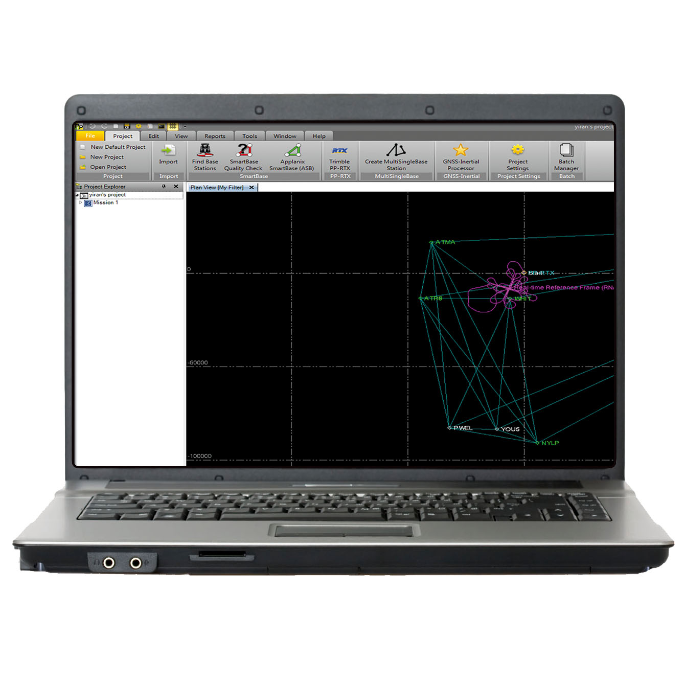
Applanix POSPac MMS with Trimble CenterPoint® RTX™
POSPac Mobile Mapping Suite, now with Trimble CenterPoint® RTX™, is Applanix' next generation, industry-leading software for Direct Georeferencing of mobile mapping sensors using GNSS and inertial technology.