Visit us at Intergeo 2023, Booth 27 at Hall 27

October 10–12, 2023 | Berlin, Germany


Trimble Applanix develops, sells, and supports stable, reliable, and repeatable GNSS-inertial solutions that enable mobile mapping from Air, Land and Marine vehicles. They are easy to incorporate and designed to operate under the most difficult conditions and environments.
 
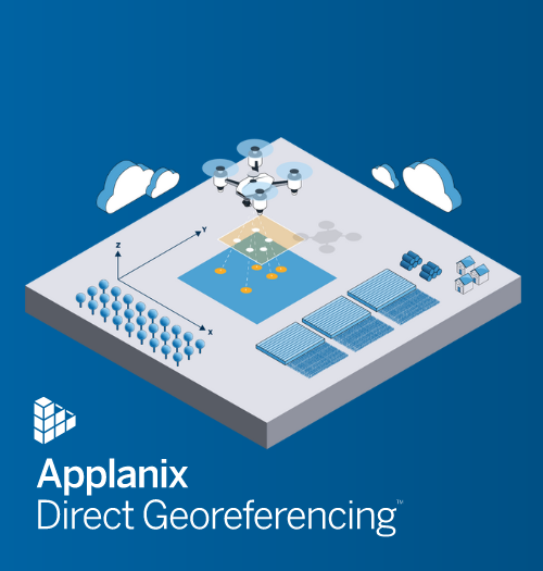
Come see Trimble Applanix’s powerful mobile mapping solutions for land vehicles and our Direct Georeferencing solutions designed for high-efficiency airborne mapping, including from UAVs. Learn about:
  • Our industry-leading Applanix POSPac MMS 9 post-processing software with CenterPoint® RTX™ for centimeter-level accuracy without base stations
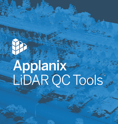
  • Applanix LiDAR QC Tools, part of Applanix POSPac and Applanix DG Solutions, which uses LiDAR SLAM as an aiding sensor to improve georeferencing accuracy in areas of poor GNSS coverage, enabling high-accuracy data collections in virtually any environment – available as a Cloud Service!
  • The new Trimble AP+ Land line of OEM boards for land which are more compact and powerful without losing any mobile mapping precision
     

New! Trimble PX-1 RTX for Drone Delivery

A small, lightweight GNSS-Inertial module with Trimble CenterPoint® RTX corrections, Trimble PX-1 RTX delivers consistent navigation without additional infrastructures.
 

Skip the Line-Ups

Book a one-on-one meeting with an Applanix representative in advance, for expert advice on how our solutions can address your specific needs.  We’ll answer your questions, and direct you to the product most suited for you.
 

Book a one-on-one discussion with our on-site staff


What We're Showing


APX Family of OEM Boards

Applanix POSPac MMS

Introducing Applanix POSPac 9: Unleash New Possibilities! Learn about our next generation, industry-leading software for Direct Georeferencing of mobile mapping sensors using GNSS and inertial technology. Applanix POSPac 9 is designed to take your mobile mapping projects to new heights. Now with IN-Fusion+ Processing Mode & Tuned LiDAR QC Tools, get ready to unleash new possibilities with our industry-leading software for mobile mapping.

Learn More about Applanix POSPac MMS >


Applanix LiDAR QC Tools

Applanix LiDAR QC Tools

Applanix LiDAR QC Tools are a set of Applanix POSPac software tools that achieve the highest level of georeferencing accuracy with LiDAR sensors. Applanix LiDAR QC Tools support boresight calibration between IMU and LiDAR sensor, trajectory adjustment and LAS file point cloud generation. It is available for uncrewed airborne and mobile mapping leveraging LiDAR SLAM as an aiding sensor. 

Learn More about LiDAR QC Tools > 


Applanix POSPac PP-RTX

Applanix POSPac with Post-processed Trimble CenterPoint® RTX™ (PP-RTX)

Applanix POSPac PP-RTX is a cloud-based global GNSS correction service which utilizes Trimbles RTX technology to provide cm-level post-processed positioning accuracy without base stations. The Trimble RTX technology utilizes data from a dedicated global network of tracking stations to compute corrections to satellite orbit and clock information and atmospheric delay models. 

Learn More about Applanix POSPac PP-RTX >


NEW! Experience faster convergence time in global RTX regions now with IN-Fusion+ PP-RTX 2, available with POSPac 9, the second generation of PP-RTX. Using the new BDS-III generation signals, B1C and B2A, improves convergence and accuracy, hence making it suitable for short uncrewed airborne flights outside of the fast regions. 

Read Whitepaper >


APX Family of OEM Boards

Direct Georeferencing for UAVs: APX and AP+ Air Family of OEM Boards 

Our GNSS-inertial technology is designed to reduce the cost and improve the efficiency of aerial survey from UAVs by Directly Georeferencing each point of sensor data without extensive GCPs (Ground Control Points) or flight line overlap.

Learn More about our Direct Georeferencing for UAV Applications >

Learn More about our Direct Georeferencing for Aircraft Applications >


Aerial view of cars driving on highway

Land Mobile Mapping

Introducing Trimble AP+ Land , for high accuracy, low power and size. Accurately and efficiently track and monitor fleets, produce high-definition (HD) maps and 3D models, or act as a reference solution for advanced driver-assistance systems (ADAS) testing, no matter the GNSS environment with Applanix solutions for land mobile mapping.

Learn More about Applanix Land Mobile Mapping >


APX Family of OEM Boards

Trimble PX-1 RTX for Advanced Air Mobility: Precise Positioning as a Service

The Trimble PX-1 RTX is a small, lightweight GNSS-Inertial module that allows drone integration companies to add precise positioning as a service capabilities to their drone delivery systems so that operators can more efficiently plan and execute takeoff, navigation, and landing tasks. Trimble's positioning solutions provide unparalleled accuracy and performance, so your drone can navigate through whatever crosses its path.

Learn More about the Trimble PX-1 RTX >


Brochures and Datasheets