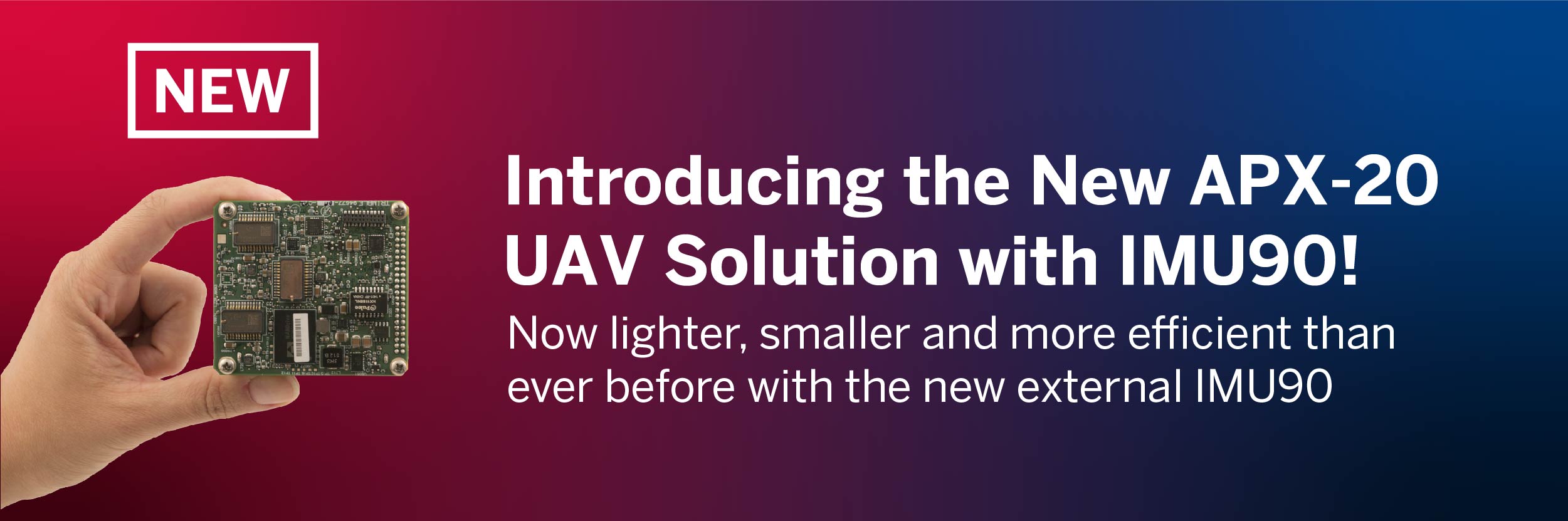
Come see Applanix’ powerful mapping solutions for air and land vehicles, as well as our DG set of OEM boards designed specifically for professional mapping with a UAV. Discover our industry-leading POSPac post-processing software with CenterPoint® RTX™ for centimeter-level accuracy without base stations. Learn more about our new AP+ Air boardsets for airborne mapping, no matter what you fly!
SESSIONS
Session #1
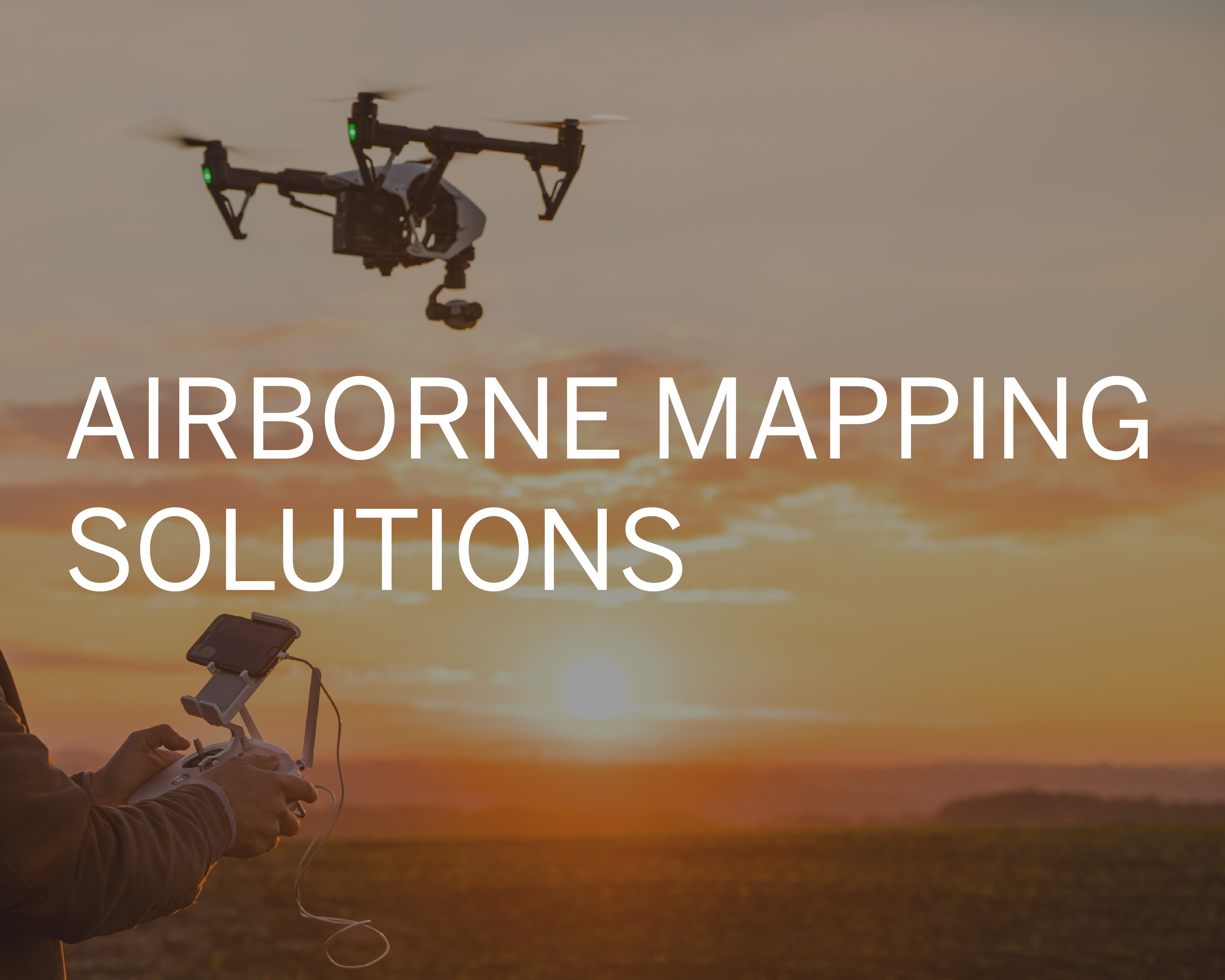
Turn Your UAV into a Professional Mapping Solution
Wednesday, September 22, 2021 | 5:45 pm CEST
Speaker: Brad Schmidt, Applanix Global UAV Sales Manager
How Surveying and Mapping Projects Benefit from Direct Georeferencing This webinar presents best practices and new technologies for survey and mapping with uncrewed aerial vehicles (i.e. UAVs). We will look at different methods of georeferencing UAV imagery, including the advantages and disadvantages for each method. You will learn about the different techniques available for georeferencing UAV imagery and ways you can save money while not sacrificing precision and accuracy.
|
Session #2
The Next Generation of Embedded GNSS-Inertial Solutions for Robust Airborne Positioning and Direct Georeferencing
Thursday September 23, 2021 | 4:00 PM CEST
Speakers: Brad Schmidt, Applanix Global UAV Sales Manager, and Srdjan Sobol, Applanix Airborne Product Manager
This webinar will provide an overview of the next generation of Applanix GNSS-Inertial solutions, called AP+ Air. We will examine when best to use these new GNSS/INS board sets, the various configurations available, along with an explanation of features and benefits.
|